wetransform's 2022 Year in Review
Another year, another retrospective!
As wetransform continues its steady advancement towards a decade of existence in 2024 (one year at a time!), we look back on what has happened at our bustling little company in 2022.
2022 in Numbers
![]()
71.850 data sets with more than 140.000 services live (across all public and private cloud instances)
Service Desk: 531 Tickets created, 431 resolved
Product Development: 309 new features and bug fixes
Averaging more than 25 new additions to our products each month, it was hard to pick favourites. Here's what our customers and tech team identified as the top 3 features.
Geopackage upload, validation and publishing
This one's for the END faithful. GeoPackage publishing support is now a part of hale»connect. Users can publish GeoPackages as datasets and automatically generate associated view and download services, and metadata. The format is now available as a download format in ATOM feed. Independent of the dataset’s file type, hale»connect users can now add GeoPackage downloads to their ATOM feeds. Moreover, GeoPackage is now available as a transformation target in online transformation projects. Users working with GeoPackage as the target schema in hale»studio transformation projects can now use those projects in online transformation configurations on hale»connect.Introduction of the TNS-ITS endpoint
hale»connect now offers a TN-ITS endpoint. The TN-ITS specification focuses on "describing the exchange of (changes) of road attributes, with the emphasis on static road data." Through this endpoint, TN-ITS data providers can make TN-ITS data sets available via the standardized TN-ITS REST service interface. TN-ITS data consumers can also obtain the TN-ITS data set via the interface. Learn more about these endpoints here.Support for 3D Data
hale»connect now supports the publishing of 3D data that contains X,Y,Z coordinates.
XPlanung
An area with a lot of movement this year was XPlanung, the German spatial planning standard that will enable an easy exchange of data between planning authorities, engineers, and the public.
Not only did I personally get to learn more about spatial planning standards at our 2022 user conference; we also built a German-language XPlanung website to showcase the expert knowledge and services we can offer as a company.
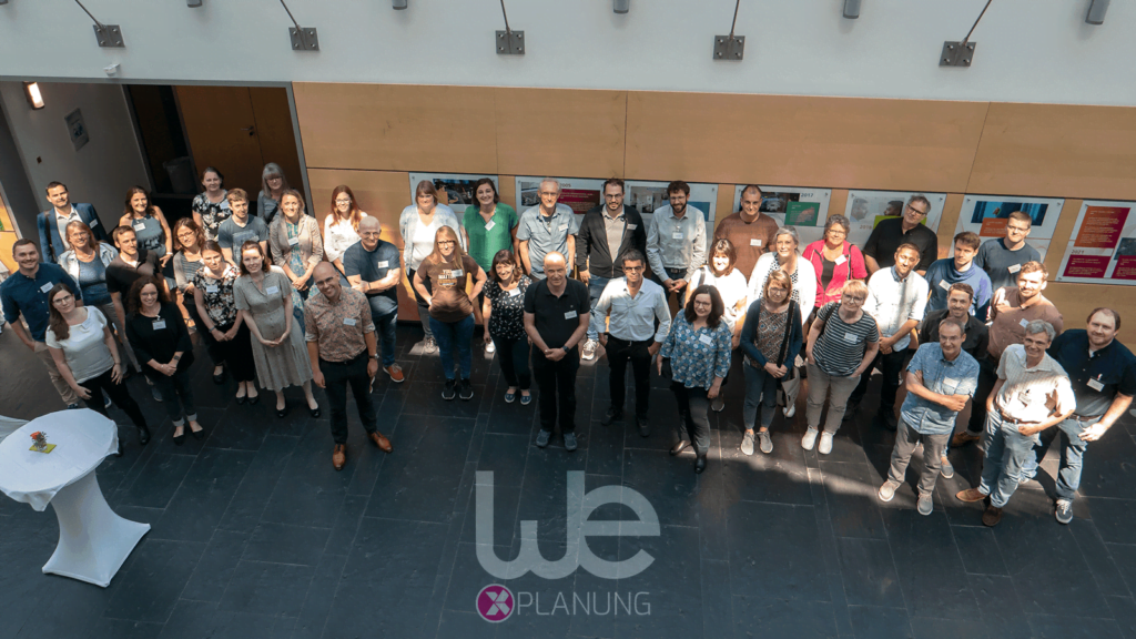
The next edition of our ever-popular Fachforum will be from May 23rd-25th in 2023, so stay tuned for more XPlanung news in the coming year!
wetransformers
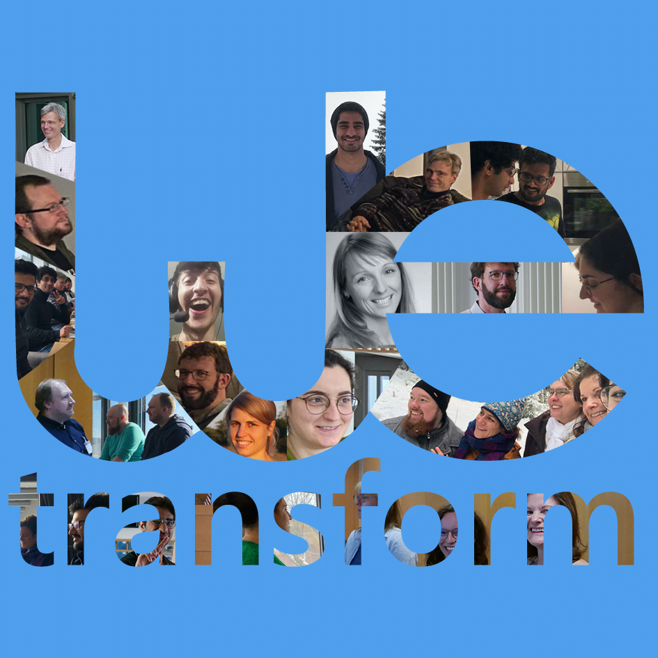
On a more personal note, this year we started our “Meet a wetransformer”-series. Here, we introduce the people at our company, along with what they do at wetransform.
We even had two more wetransformers join us this year, so look out for interviews with Anna and Morchid in the future!
FutureForest
Another project that's rapidly gaining steam is FutureForest!
This exciting AI-assisted forestry project is well and truly underway, spurred on by a mighty investment from the Federal Ministry for the Environment, Nature Conservation, Nuclear Safety and Consumer Protection and co-sponsored by Zukunft – Umwelt – Gesellschaft (ZUG) gGmbH.
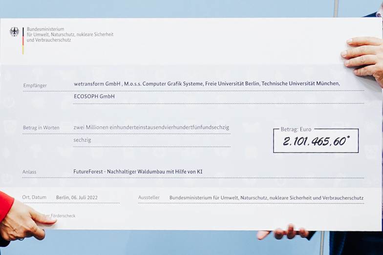
We’ll be sure to continue providing you with updates to see how innovations will affect nature management. The German television programme “neuneinhalb” already had a look on the forest floor as well as in the tree crowns.
In Summary
With technology, projects, and people all making vital steps, this past year has been a whirlwind for wetransform. We can only look forward to seeing how these trends will develop in 2023, as we continue to make the world of environmental data a more transparent and sustainable one.
Data Spaces
Finally, 2022 was an important year for data spaces.
A data space allows stakeholders to share, access, and benefit from diverse sources of data without the risk of sensitive information falling into the wrong hands. This will make environmental data spaces a key instrument to facilitate evidence-based decision-making in the face of climate change.
In the past year, we have written extensively about data spaces in general and the Environmental Data Space in particular. These have not only been on our own blog, but also in trade publications such as gis.Business, and in collaborations with the International Data Spaces Association.
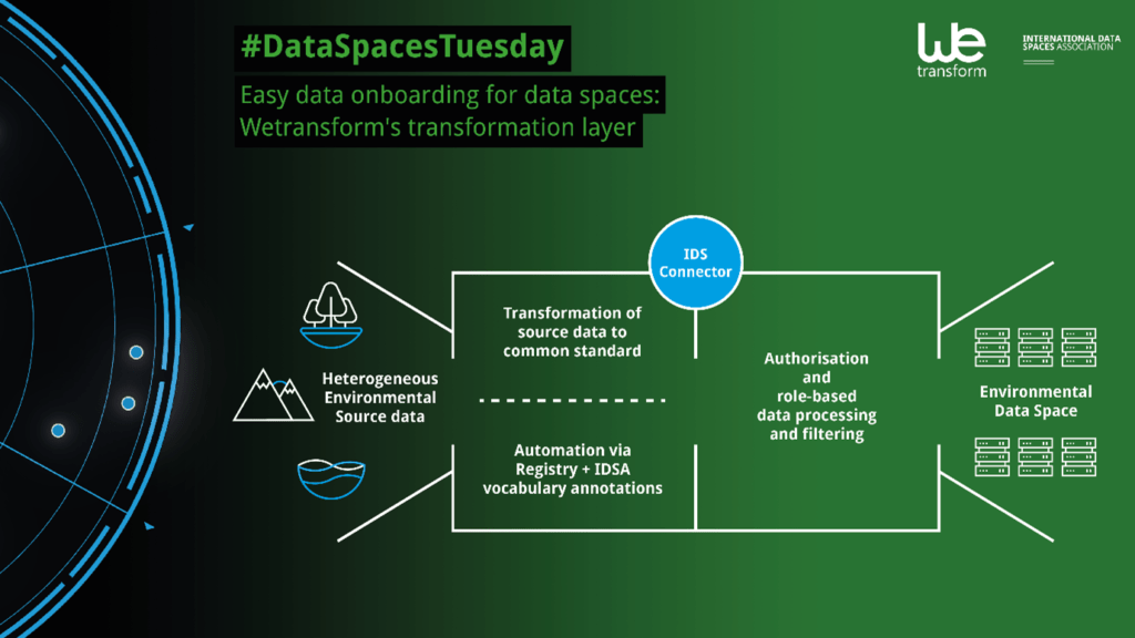
All of these ideas have grew into one for an actual product. A wetransform ETL-layer that does what we do best: Make data comprehensive and useful.
If you want to stay up-to-date as well, subscribe to our newsletter!
