OGC welcomes wetransform as a new member
At wetransform, we’re dedicated to make open standards work for our users and customers. The members of our team have been involved with standardization projects such as CityGML{:target="_blank"}, INSPIRE, 3D Portrayal Services and SoilML at their previous organisations like Esri{:target="_blank"} and Fraunhofer{:target="_blank"}. We want to continue to contribute to effective, open standards.

We have therefore joined the Open Geospatial Consortium (OGC) and just taken part in our first Technical Committee (TC) Meeting. We will, in particular, contribute to Smart Cities standardization and we will also work on the actual standardization process and documentation. In both areas, we believe that the data-driven design tools we’re building will help to create better standards, faster.
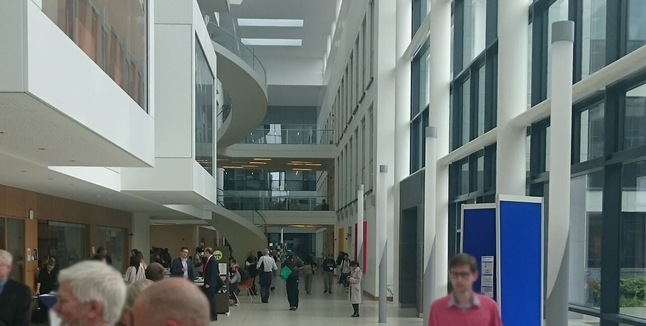
I joined the 99th OGC TC meeting in Dublin from Monday Evening to Wednesday afternoon. I attended the Europe Forum, the Smart Cities ad-hoc meeting as well as sessions on 3D, such as the CityGML SWG meeting and the 3DIM Domain Working Group’s sessions. Here are a couple of highlights from each of these sessions:
- Europe Forum: Michael Lutz (JRC) told us about their development of central tools for validation and conformity testing of INSPIRE data. For this purpose, they are putting a lot of effort into building a complete set of Schematron validation rules, which are now available under https://github.com/inspire-eu-validation. Michael explained that developing the validation rules “was a really valuable exercise to validate and clarify the technical guidance”. I think this is an important insight and think that we should also apply it to the INSPIRE extensions methodology project.
- Smart Cities Ad-Hoc: Without doubt, “Smart Cities” is one of the most hyped concepts de jour. Bart de Lathouwer presented a lot of different standardization bodies and projects such as ESPRESSO, FCP1/buildingSmart, ITU-T SG20 and the JTC1/WG11 smart cities working group where the OGC{:target="_blank"} is involved. It seems that everybody wants to make their claim, so there is certainly going to be overlap, over- and underspecification and some general confusion about what we are actually standardizing when we work to build smart cities.
- CityGML SWG: One of the big wins that CityGML{:target="_blank"} had was the establishment of their four semantic levels of detail. The concept is realtively easy to understand, and even organisations that don’t implement the format adopt the terminology. However, one of the core goals of the current CityGML 3.0 work is to rework part of the “multiple representation framework”. The main objective is to decouple interior and exterior level of detail. Looks like we’ll have three interior and three exterior levels in the future!
- 3D Information Models Working Group: To me, the most interesting presentation was about standards used for simulation and modelling, particularly in the defense sector. In that space groups like the Simulation Interoperability Standards Organisation work to build smaller standards, open systems and architectures which distribute capabilities to lightweight services.

