
Workshop on INSPIRE Extensions in Paris
On June 20th and 21st, Eurogeographics, Geonovum, and EuroSDR organised a workshop on Extensions for INSPIRE Data Specifications. Over 40 participants gave a grand total of 26 presentations! In this article, I will highlight some of the aspects that I found particularly interesting.
Before we delve into each of the individual presentations and discussions, I’d like to point you to a video the JRC has just released that provides a good intro into the “why” and “how” of INSPIRE Data Specifications:
{:/}
After the introductions to the topic by Morten Borrebaek (Norwegian Mapping Authority), Dominique Laurent (IGN France) and Michael Lutz (JRC), we looked into the first examples for data specifications related to INSPIRE.
Giacomo Martirano explained the work he has been doing for a Damage and Loss Data Model based on the Natural Risk Zones data specification. The key components from the INSPIRE data specification which he re-used included the Geometry model and the Identifier model, and decided to use the Association pattern to link INSPIRE reference data with the types from the new Damage and Loss Data Model.
Heidi Vanparys presented the Danish geodata model. I was particularly interested in their approach to flattening and simplification, which had been discussed in the MIG before as well. Their group followed the ISO methodology since 2013 and collected a lot of experience. They decided to use separate national modelling principles for their data models to enable them to be more agile with changes, and used the INSPIRE data specifications more as a source of inspiration. As an example, Heidi mentioned the use of DKFeatureType as the base type definition instead of gml:featureType. She also explained the use of additional tagged values and of formalized comments, and added that they learned some key lessons:
- A common understanding of data between different domain experts and technical staff is the basis for any successful data modelling.
- Focus on the “signal” when creating a model, keep the “noise” low by limiting imports and reducing non-essential structures
Ad van Houtum from Kadaster continued with an impressive presentation on how business requirements drove the development of an extension to the INSPIRE utility network model. This extension for the KLIC system helps to reduce excavation damage, of which there were 32.000 cases per year with an average damage 850 € per case. His group worked with Geonovum and used the Mix-In/Multiple Inheritance pattern to be compliant to both INSPIRE and national models on a conceptual level.
On we went with the presentation by Knut Jetlund on the Norwegian Road Transport model. They defined a conceptual relationship between the INSPIRE types and their own model, using the UML Realize pattern (not yet added to the pattern catalogue). Compared to the inheritance pattern which mandates that a subtype is fully compatible to the subtype, Realize and Redefine work differently and allow more freedom in the actual implementation. Knut used this freedom to simplify complex properties defined in the INSPIRE data models to simple properties. He explained that they created matching tables to map the simplified structures to the original ones – this pattern of “extension by mapping” is something that I’ve noticed in quite a few cases.
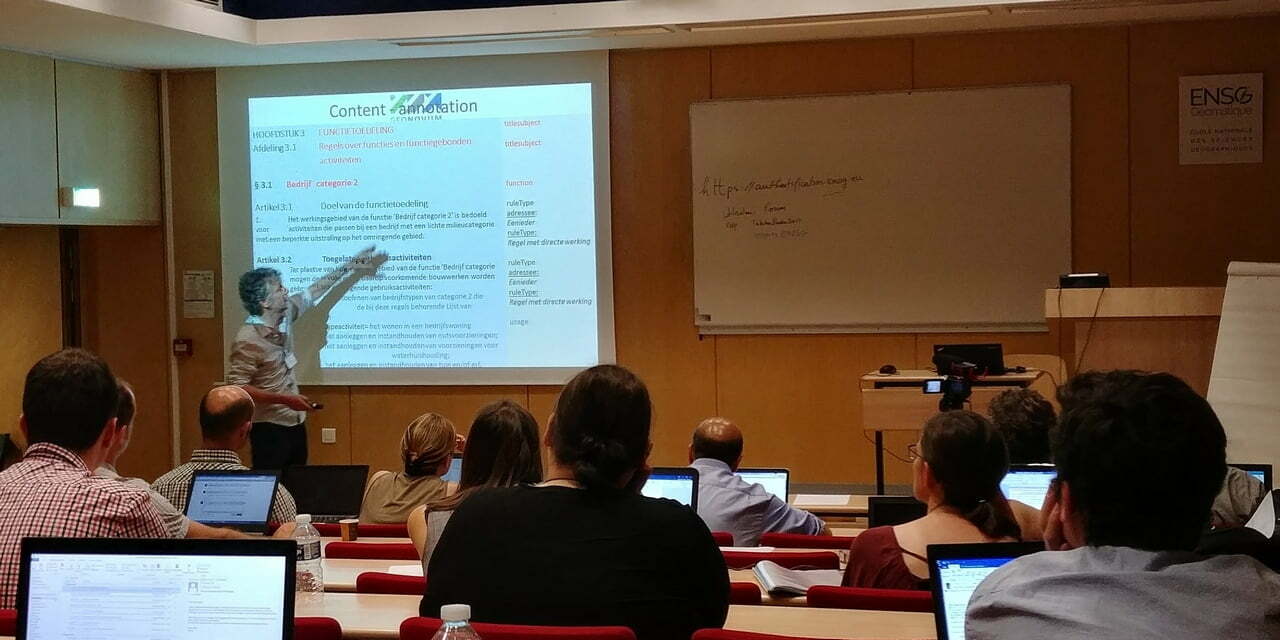
Another interesting approach was brought forward by Paul Janssen form Geonovum. He explained how their group created a formal annotation model for legal texts and aligned that model with INSPIRE data specifications. Similar to what Knut had presented, this alignment between the legal text model and the structures in INSPIRE is a kind of “extension/realisation relationship”.
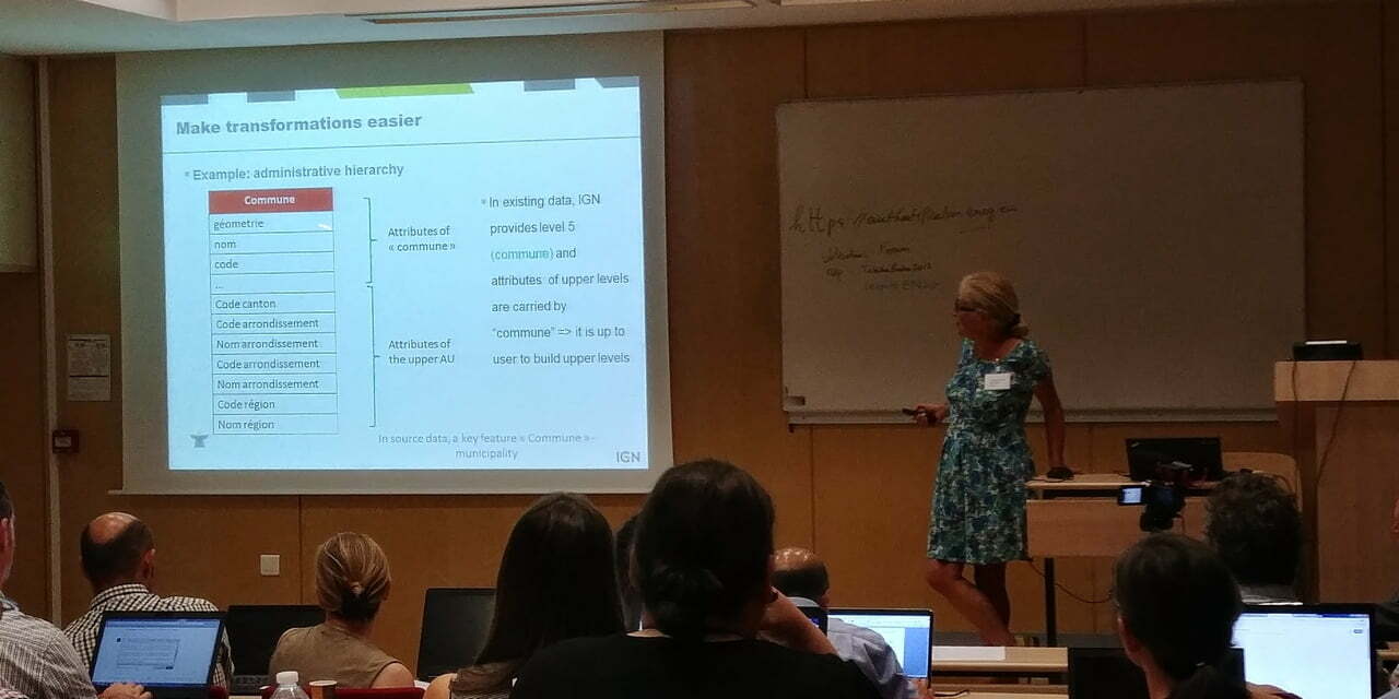
Dominique Laurent from IGN France did something out of the trend: She presented how IGN “pumped up” the INSPIRE model, instead of flattening or simplifying it. This was necessary to capture all user requirements embodied in the Batiment Digital UNI v2 product. An interesting technical aspect of the “pumping” was the usage of JSON objects in database fields. Dominique pointed out that these need appropriate editors. Again, no formal Extension pattern was used – INSPIRE served mostly as inspiration. Dominique explained that the new data model was designed so that transformation to other models would be easier, and that this "extension by mapping" was documented in matching tables. IGN also decided to work with Excel tables instead of UML as a modelling tool. The team did not see UML as useful, as their model has no inheritance, doesn’t have many associations, and a graphical presentation was not required.
A bit later, the first day concluded with discussions around lessons learned, methodologies to use, and the question of whether an extensions registry would be helpful to the community. After the much deserved cold beer and dinner, we all went to bed, and most of us joined on the second day to continue the workshop.
Morten Borrebaek presented how his team built on the INSPIRE Planned Land use theme, with the objective of aligning the national standard SOSI and INSPIRE in one model. Their approach is entirely model driven, using UML models for SOSI standards, and mapping to realization platforms such as GML or databases. The usage of the Realization pattern allowed them to alias all element names to Norwegian. This work is part of a national strategy, and all related standards are documented at geonorge.no.
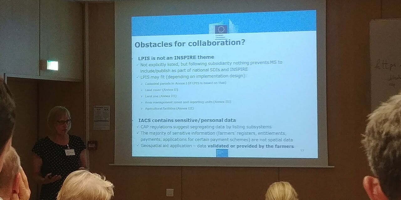
Katalin Toth (JRC) then gave a presentation on the EU’s Common Agriculture Policy (CAP), which opened my eyes on the potential of an infrastructure like INSPIRE; but it also showed how difficult it can be to resolve the political problems. Technical issues appear tiny in comparison!
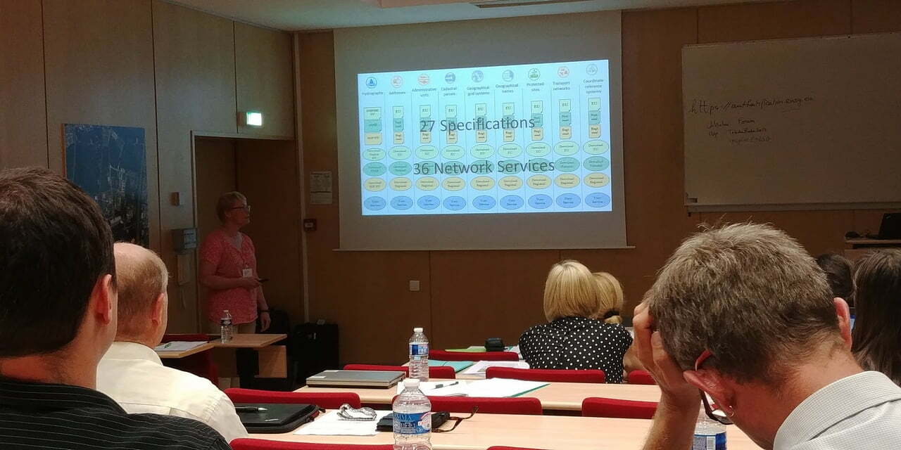
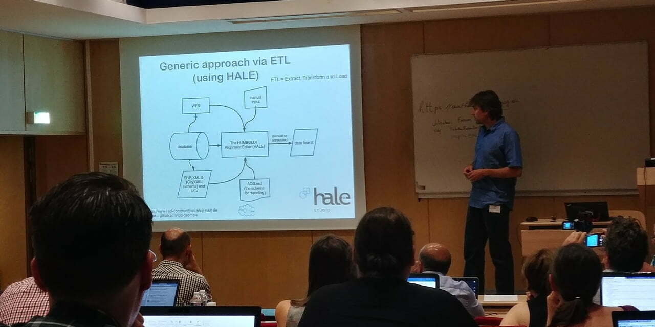
Helen Eriksson explored the differences between SWSS and INSPIRE Hydro-Physical waters and set herself the challenge to build really complex extensions. She largely followed the ELF modelling principles and the methodology documented at the INSPIRE extensions project site. She was also one of five presenters using hale studio to perform the transformation of existing data to the new extension.
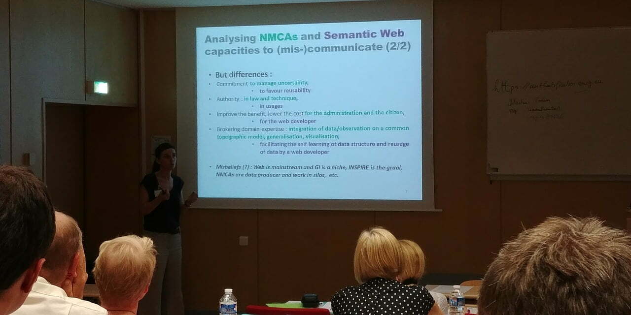
Before we went into the lunch break, the participants discussed on required research topics, such as alternative access patterns like APIs, Apps and Solutions, but also about Organisation and Policy.
After the lunch break, it was time for my session – which was announced as a “Main learnings of the Geonovum Masterclass”. I wasn’t entirely sure what to add after two days of intense technical presentations, but decided to first share some observations, help people ask the right questions and then to set them on the path to find their own way. During the masterclass, I revisited the methodology and focused on four topics:
- Documentation of the model and of its relationships to other models
- Validation based on real data and on quantified model analysis techniques
- Agile maintenance and evolution of the extension
- Tooling, such as validation frameworks and modelling tools
We concluded with short summaries given by Morten, Dominique and others. At this point I’d like to thank the organisers for this interesting opportunity to continue the work started last year with the Geonovum project, and would like to wish everyone “Happy Extending”!
