Feature Alert June 2019: Here's what's new in hale»connect this month!
We've brought in more features over the previous month to make your experience with hale»connect even better! Here's what's new:
Raster data publishing
hale»connect now supports the upload and publishing of .PNG and .GeoTIFF raster files. This enables you to include your raster data while publishing XPlanung and INSPIRE Land Use data. You can find this option in the “View Services” section in themes. Check out the new raster workflow document in our help section.
New Map View
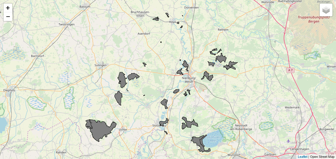
hale»connect has a new map view based on Open Street Map and Leaflet. You can add your own WMS base map via the layer widget. You can also configure a default basemap configuration for your organization in the organization settings. Check out the documentation sections for more information.

Deactivate Users
Administrators can now deactivate and reactivate users. Learn more here.
Autofill rule to populate dataset name
In the metadata section of a theme, users can now add an autofill rule to populate the dataset name. This enables users to select a dataset attribute, or other value, to generate the dataset name. Check out the metadata configuration option here.
Include attachments in atom feed
Haleconnect offers a new setting in the download services section of a theme. The new toggle switch “Include attachment links in Predefined Dataset download services” enables users to download attachments uploaded with their dataset directly from the atom feed. The documentation for this feature can be found here.
Attachment handling
There are now multiple ways to upload attachments on haleconnect. For customers interested in uploading XPlanung data which includes attachments, it is now possible to upload attachment during dataset creation. More information on this update can be found here.
If you have any questions, comments or concerns, don't hesitate to contact us at info@wetransform.to


