Geospatial World Forum Review 2019
As we shift to data-driven approaches towards decision-making, location intelligence begins to matter more and more. The effect of geodata encompasses many industries including construction and engineering, energy, insurance and real estate. The interoperability of geodata continues to play a critical part in facilitating information exchange across these industries.
From April 2nd to 4th 2019, the Geodata community came together for Geospatial World Forum. Stakeholders shared the relevance of geodata in different sectors. They presented a 360-degree perspective of the role played by geodata across different industries, including the challenges faced by different organizations and identifying where opportunities for collaboration exist. Specifically, the importance of location intelligence in bridging knowledge gaps and digitizing economies was brought to the forefront.
A recurring theme was that of the intersection of geodata and smart cities. Smart cities provide resilience, situational awareness and decision support. Covering aspects from building schools in the optimal location to provide the access to all citizens, to long-term goals such as containing climate change, smart cities centrally are aimed at improving the quality of life. To create an encompassing smart city from a truly data-driven perspecitve, reliable and well-maintained geodata is a must.
Marino Cavallo, the Head of Research and Innovation at the City of Bologna, spoke of the importance of the link between smart cities and sustainability, and how open geodata can boost citizen participation. The speech also included the example of Bologna to demonstrate how nature-based solutions can promote social cohesion, new enterprises and civic engament. You can find the paper abstract here and the presentation here.
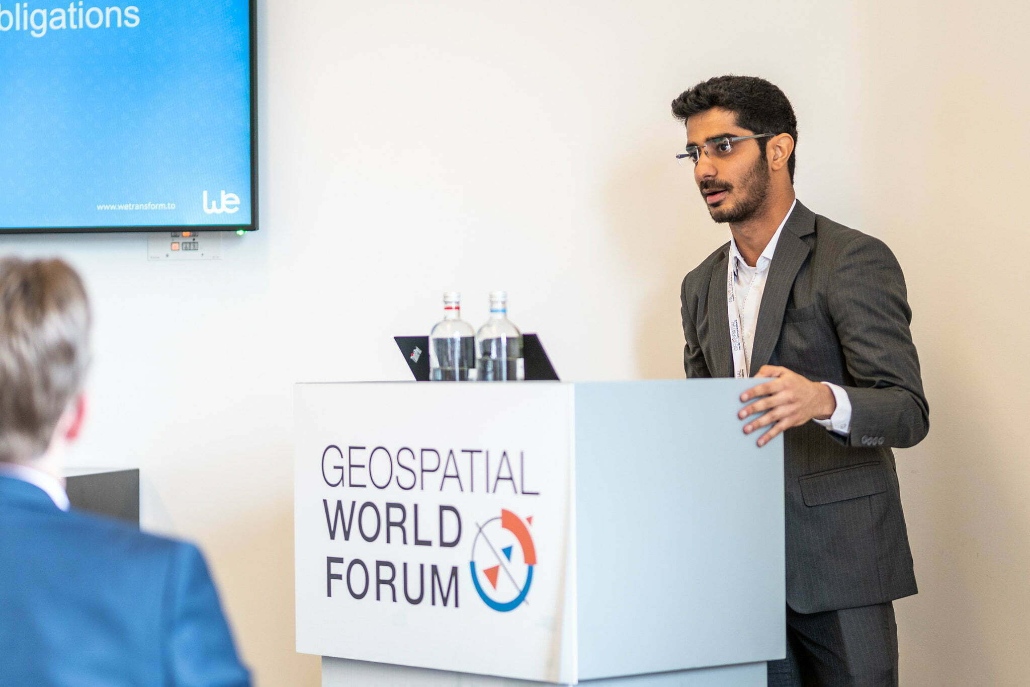
Akshat Bajaj, wetransform’s marketing manager, presented on how an interoperable geodata could allow you to form a concrete basis to meet reporting standards. Achieving easy extensibility in such a situation promotes streamlined shift towards data-based approaches, which forms a reliable launch pad for developing smart city infrastructures. The case study focused on extending an INSPIRE dataset to XML type 2.

It focused on identifying a method to easily extend INSPIRE data to meet e-reporting obligations, the challenges faced, and how they were overcome. Check out the abstract and presentation now!
Would you like to know more about such projects? Feel free to contact us and fully understand how you can extend open data to meet business requirements. If you would like to have a go at it yourself, you can register for a free trial of our product, hale»connect, a cost-efficient cloud-based platform that allows you to comply with open standards with minimal efforts.

